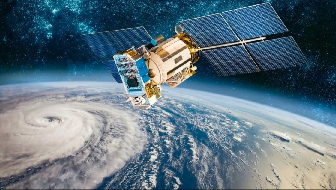
The Indian Space Research Organisation successfully launched EOS-05 aboard its GSLV-F17 rocket from the Satish Dhawan Space Centre at Sriharikota at 2:55 a.m. on 4 September. ISRO confirmed that the rocket placed the 2,367-kilogram spacecraft into its intended sub-geosynchronous transfer orbit, from where the satellite will maneuver toward its operational orbit. It is India’s first imaging satellite designed for geosynchronous orbit.
That distinction is important.
Their proximity allows highly detailed imagery, but the spacecraft move rapidly relative to the ground. A satellite may therefore have to wait until its next orbital pass before viewing the same location again.
“Most Earth-observation satellites fly only a few hundred kilometers above the planet in low Earth orbit.”
EuroAsia.News
EOS-05 takes a different approach.
At approximately 36,000 kilometers, its orbital period is synchronized with Earth’s rotation. This allows extremely frequent observation of very large geographical areas. The result is less like taking occasional photographs from a passing aircraft and more like maintaining a watchtower in space.
For a country the size and geographical complexity of India, the potential applications are enormous.
Agriculture is an obvious example. Repeated imagery can help authorities follow changing crop conditions, water availability, drought stress, flooding and large-scale land-use patterns. India must manage food production for more than 1.4 billion people while dealing simultaneously with monsoon variability, groundwater depletion and increasingly volatile weather.
Disaster response may be even more important.
Cyclones can strike India’s eastern and western coasts, while Himalayan states are exposed to landslides, glacial risks and extreme rainfall. Flooding regularly affects vast areas of the Ganges and Brahmaputra basins. A satellite able to revisit affected regions frequently can provide governments with a much faster picture of how a disaster is developing.
Urban planning, forestry, environmental monitoring and infrastructure development are also expected to benefit.
But EOS-05 also carries a strategic dimension that should not be ignored.
Earth observation has become one of the most important forms of infrastructure in modern economies. Satellites can monitor ports, roads, railways, reservoirs, agricultural regions, coastlines and shipping routes. The same technology that supports civilian disaster management can inevitably provide information relevant to security and defense.
This matters in an Asia where China is rapidly expanding its space capabilities and where India is increasingly positioning itself as an independent technological power rather than merely a customer of American, European or Russian systems.
The mission is significant for another reason: the launch vehicle itself.
GSLV-F17 was the 19th flight of India’s Geosynchronous Satellite Launch Vehicle, using an indigenously developed cryogenic upper stage. EOS-05 also replaces the earlier EOS-03/GISAT-1 mission, which failed in 2021 after a problem in the cryogenic stage prevented the satellite reaching orbit.
Successful delivery therefore closes an important technological loop for ISRO.
India already possesses one of the world’s largest remote-sensing satellite programs. It is also developing human spaceflight, navigation systems, lunar missions and deeper cooperation with commercial launch companies.
EOS-05 adds something different: persistence.
For agriculture ministries, emergency agencies and infrastructure planners, the value is the ability to see change as it happens rather than discovering it on the next satellite pass.
For India strategically, the significance is broader.
A country that can continuously observe its territory and surrounding region from its own spacecraft is less dependent on foreign information infrastructure.
In the emerging competition for technological sovereignty, satellites are becoming as important as ports, railways, energy grids and semiconductor factories.
India’s newest eye in the sky therefore represents much more than another successful rocket launch.
It is another piece of the infrastructure through which Asia will increasingly be observed, managed — and understood.