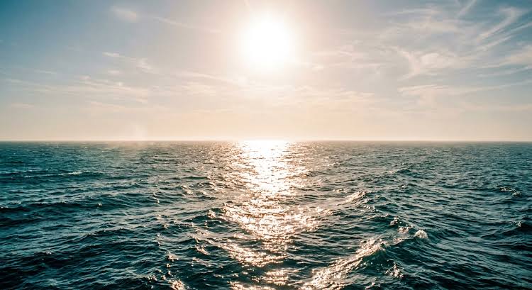
Ocean temperatures have risen rapidly through the northern summer, forecasts have strengthened repeatedly, and scientists are now preparing for what could become one of the most powerful El Niño events in the modern observational record. The concern is not simply whether another temperature record will be broken. It is what happens when an unusually strong natural warming cycle is added to a planet that is already substantially warmer than it was during previous major El Niños
NOAA officially declared El Niño conditions on 11 June 2026, after sustained warming developed across the central and eastern equatorial Pacific. By September, NOAA's Climate Prediction Center reported a Niño-3.4 sea-surface temperature anomaly of around +1.8°C, while temperatures in parts of the eastern Pacific were more than 3°C above normal. NOAA now puts the probability of a very strong El Niño during autumn and winter 2026–27 at above 90%.
It generally refers to an event reaching roughly 2°C or more above normal in the central Pacific for a sustained period. Weekly measurements have already briefly crossed that level, although NOAA's formal assessment relies on longer three-month averages rather than individual weekly readings. That distinction matters: short-term temperature spikes do not by themselves determine the final strength of the event.
“The frequently used term “super El Niño” is not a separate official meteorological category.”
EuroAsia.News
Yet the direction is increasingly clear. The World Meteorological Organization says El Niño is firmly established and is expected to intensify further toward the end of 2026. Its global forecasting centres currently see an almost 100% probability that El Niño will persist through February 2027, with the strongest conditions expected around November and December. WMO models also indicate exceptionally warm conditions across much of the world's land surface.
A natural cycle on top of man-made warming
El Niño itself is natural. During an event, warm surface water normally concentrated in the western tropical Pacific spreads eastward. Atmospheric circulation changes with it, shifting rainfall belts, altering winds and influencing weather thousands of kilometres away.
But the starting point has changed.
The world's oceans and atmosphere are now warmer because of decades of accumulated greenhouse-gas emissions. El Niño therefore no longer operates against the climate background experienced during similar events in the twentieth century. It adds a temporary pulse of natural warming to an already elevated global temperature baseline.
The previous 2023–24 El Niño became one of the five strongest on record and contributed to exceptional global temperatures. The new event is developing only a few years later and considerably faster. WMO has warned that this combination increases the likelihood of extreme heat, drought and intense rainfall even though the exact effects will differ sharply between regions.
From climate phenomenon to food-security problem
The greatest danger may not be an abstract global temperature number but the disruption of food, water and energy systems.
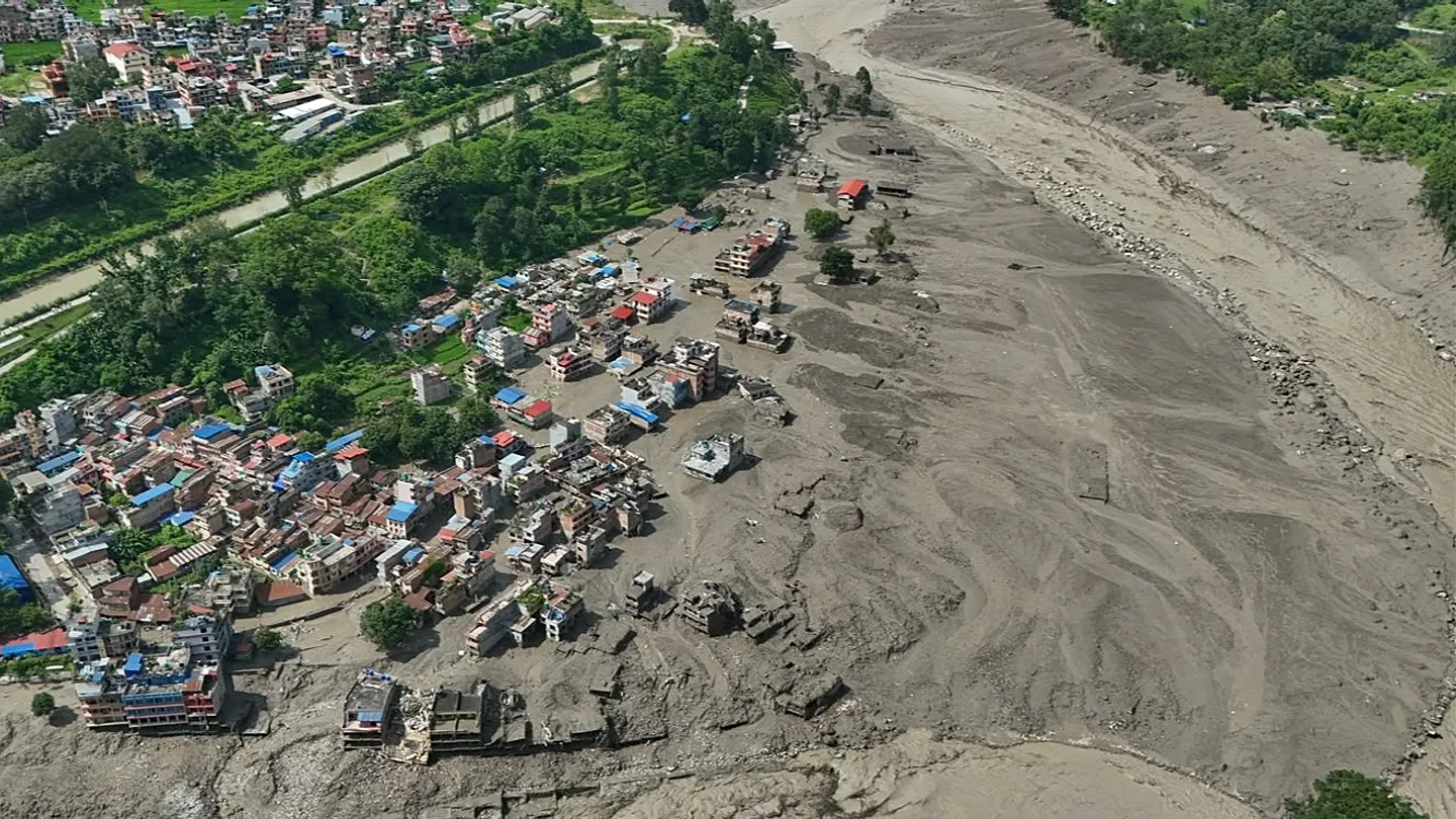
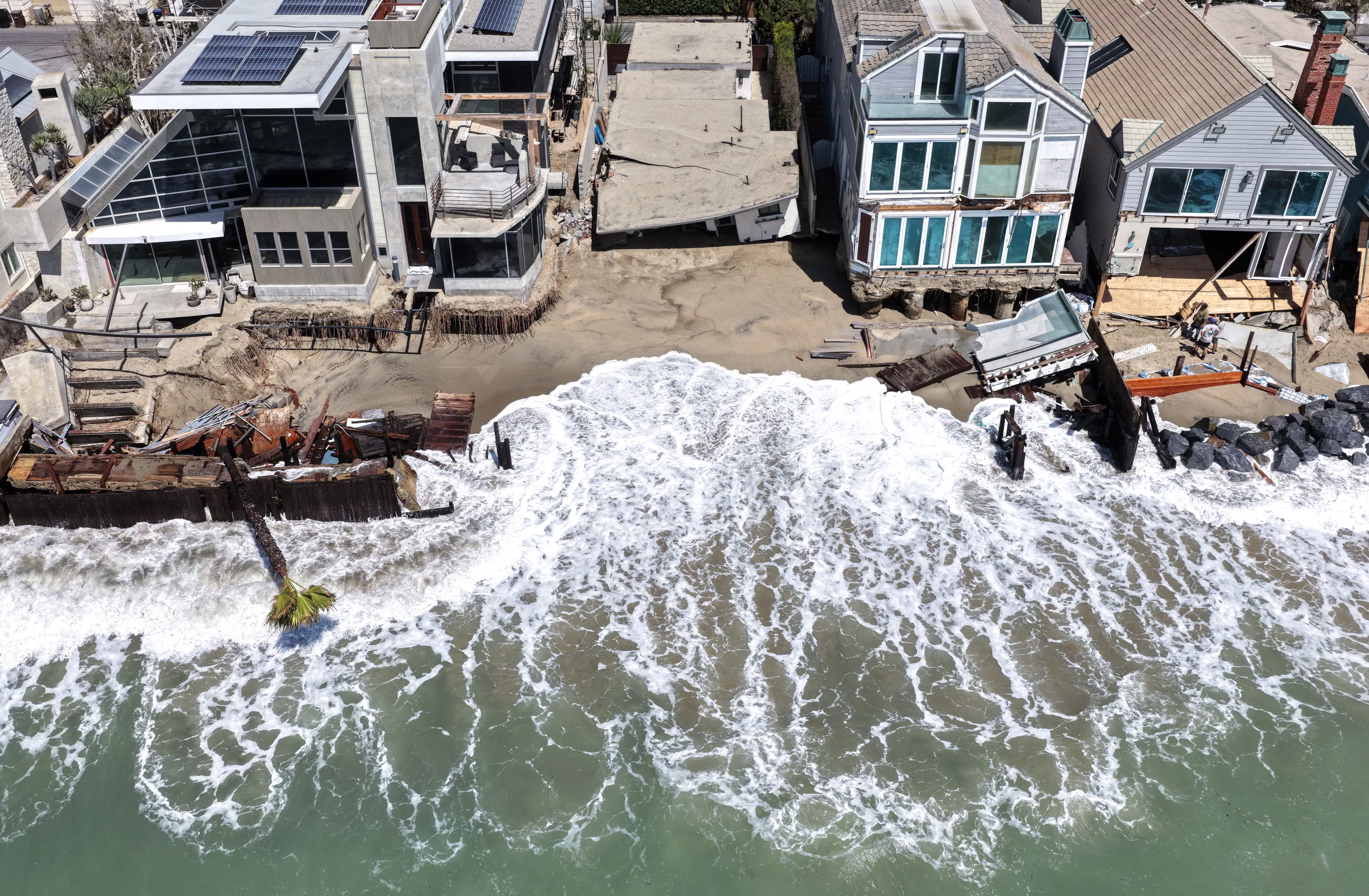
El Niño frequently brings drier conditions to parts of Southeast Asia, Central America and the western Pacific, while other regions can receive extreme rainfall and flooding. Agriculture is particularly exposed because drought can simultaneously reduce harvests, increase irrigation demand and lower hydroelectric generation.
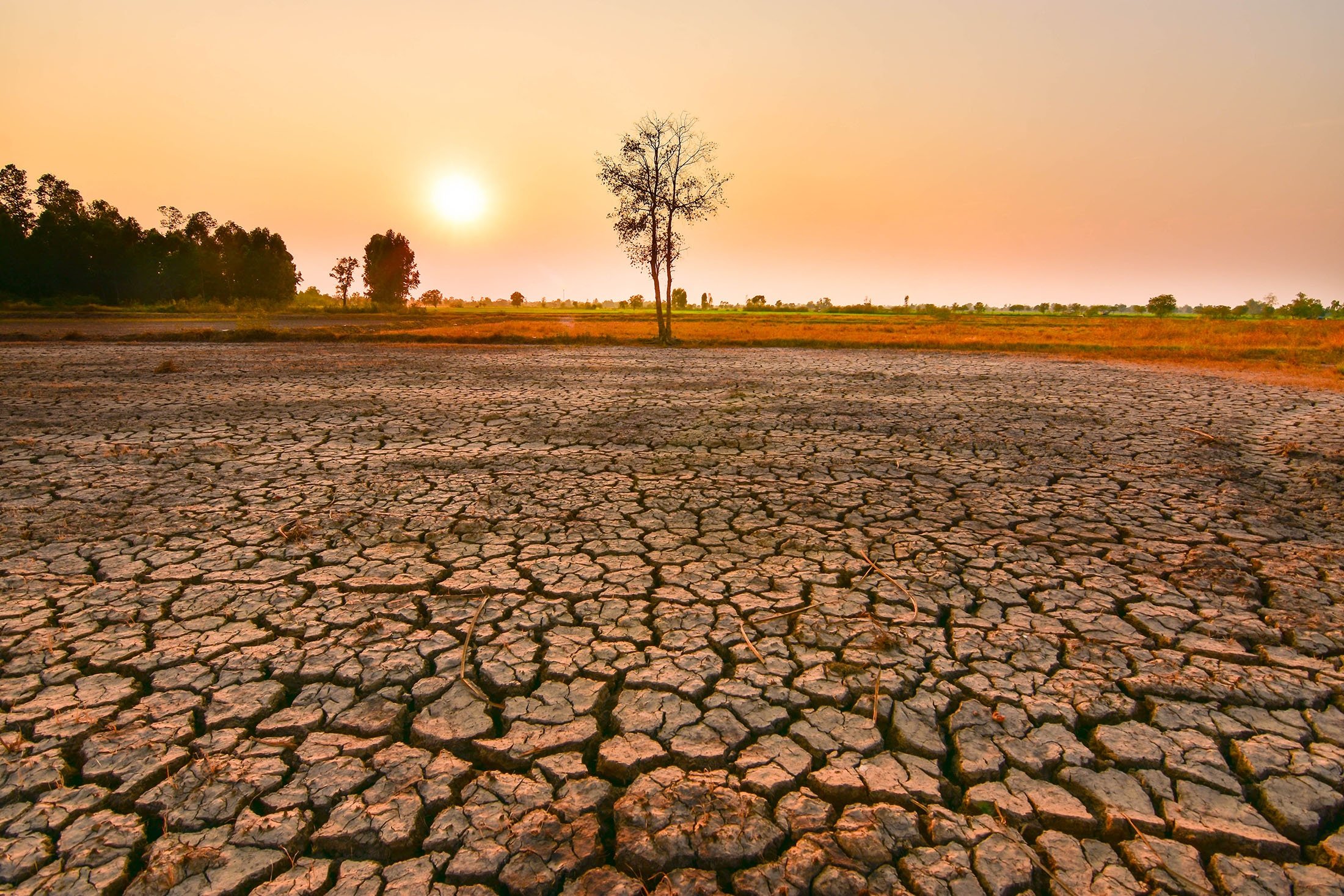
The World Food Programme is already preparing for worsening food insecurity in vulnerable countries. Central America is one focus: Honduras, Guatemala and El Salvador face the possibility that reduced rainfall and crop losses will collide with already high food, fuel and fertilizer costs. Southeast Asia faces similar risks involving rice, palm oil and fisheries.
That means an El Niño originating in the Pacific can ultimately appear in supermarkets thousands of kilometres away as higher rice, vegetable-oil or commodity prices.
Marine ecosystems face another shock. El Niño suppresses the normal upwelling of colder, nutrient-rich water along parts of the Pacific coast of South America, reducing phytoplankton productivity and shifting fish populations. NASA satellites are already detecting changes in Pacific marine biology associated with the developing event.
The real test comes this winter
Whether 2026–27 ultimately becomes the strongest El Niño measured since modern records began will only be clear after the event peaks. But record-breaking labels may be less important than the underlying warning.
Earth is entering this El Niño with unusually warm oceans, warmer continents and ecosystems already experiencing repeated climate extremes. A phenomenon that has occurred naturally for thousands of years is therefore interacting with environmental conditions humanity has never previously experienced at this scale.
The coming months will be more than a test of El Niño forecasts. They will show how resilient modern food systems, infrastructure and societies are when one of Earth's most powerful natural climate oscillations is superimposed on a rapidly warming world.